
Ithaca Neighbors by Parcel
The most reliable starting point for Ithaca neighbors is the block’s parcel geography, not a name-only search. Each source below answers a different question. A parcel map shows where a tax parcel sits. The assessment layer identifies the owner name and mailing address reported for that parcel. A recorded instrument can explain ownership or a shared access right. None of them confirms every current occupant at the address.
| Source | What It Shows About a Block | Access |
|---|---|---|
| Mapping Tompkins | County parcel geography, address data, map relationship and related public layers | County map and open-data portal; map output is reference material, not a survey |
| Tompkins assessment database | Property location, owner, owner mailing address, assessment, class and exemptions | Beacon landing page and downloadable annual rolls |
| County Clerk PublicSearch | Recorded parties, dates, document references and legal descriptions | Online index, staff search, counter, telephone or email route |
| HistoryForge and historic directories | Historic people, buildings, maps, census links and address-based context | Free project search plus History Center and library research channels |
| Ithaca neighborhood planning | Adopted planning areas, public spaces and local geography | Public plans, not a resident or member list |
Start with an exact street number and confirm the municipality. City of Ithaca, Town of Ithaca, and Cornell-area addresses may all use Ithaca in a postal address while falling under different municipal custodians. Postal naming is not a property boundary. For a full address-by-address trail along a named street, use the Ithaca street directory route after the immediate block is clear.
Note: Record the exact parcel and municipality before comparing nearby properties, because a postal Ithaca label crosses jurisdictions.
Ithaca Neighbor Parcel Method
The documented county workflow begins with Mapping Tompkins or the Simple Parcel Viewer, then carries the parcel identifier into the assessment and Clerk records. The research did not capture every live map control or an already-open neighbor result. Treat the map as a geographic tool: save the target’s printed address or Printkey, note the map date, and use the parcel layer to compare boundaries. County GIS materials caution that parcel lines are compiled from multiple sources and do not replace a deed, survey, or approved tax map.
- Find the target address in the county map tools and record the property location and parcel ID or Printkey.
- Use the parcel layer and available identify or select behavior to inspect polygons that share a boundary, street frontage, rear line, corner, or common driveway.
- For each nearby parcel, record the map relationship, municipality, parcel ID, and property location before checking the assessment owner layer.
- Use the owner name, document reference, or legal description in PublicSearch when a deed, easement, subdivision, or shared-description question remains.
The parcel is a geography key, not a person key. A block can include a tax-exempt institution, a right-of-way, a condominium unit, a remote owner mailing address, or a parcel that changed after subdivision. That is why every nearby polygon needs a separate record note rather than an assumption based on the closest address label.
Ithaca Neighbor Owner Layer
Tompkins assessment materials add the owner layer after the map step. Their stated content includes property values, assessment details, ownership, sketches, and tax maps. Annual City and Town rolls are also a no-login fallback. Preserve the physical property location, owner name, owner mailing address, tax-map parcel, assessment, class, district, and exemptions as separate fields. They are not interchangeable facts.
The published 2025 roll contains a useful anti-error example: a parcel’s situs is listed at 110-12 Heights Ct while the owner’s mail is sent to 110 West King Rd. The mailing address can be a correspondence location, agent, or another property. It should never be restated as the location of an Ithaca neighbor. When ownership must be checked, a deed can add grantor, grantee, recording date, document number, legal description, and prior-deed reference.
- Situs or property location
- The physical parcel address used in the assessment and map record.
- Owner mailing address
- The correspondence address supplied for the owner. It can differ from the parcel’s location.
- Legal description
- The deed’s lot, subdivision, metes-and-bounds, or other formal description of the real property.
Ithaca Neighbors in HistoryForge
Current parcel geometry can be paired with a historic address search, but the two records are not the same. HistoryForge, developed with the History Center beginning in 2016, connects interactive historic maps, buildings, people, census material, city directories, and archival records. Its Places search is address-based and asks users to select the suggested address format. That step matters when an older property uses a different street pattern or number.
For an older block, compare several directory years at the address and then use HistoryForge’s building and people connections. The History Center Research Library has city directories, obituary listings, maps, newspapers, family files, and other local sources, but visits are by appointment and only part of the holdings is online. A historical directory entry is a dated appearance, not a current-neighbor result.
Note: Factory Street became Stewart Avenue in 1888, so a historic block search may need both names before comparing older and newer sources.
Ithaca Neighbor Community Layers
Community sources provide context around a block without naming private members. The city’s adopted plans describe Greater Southside, Downtown, Waterfront, and parks or public-space geography. Historic Ithaca adds Southside, DeWitt Park, and Lower East Hill heritage context. The Tompkins Chamber offers a public community map and organization directory. These sources can identify a planning area, public institution, or listed contact point. They should not be treated as a neighborhood roster.
| Community source | Useful block context | What it does not provide |
|---|---|---|
| City neighborhood planning | Greater Southside, Downtown, Waterfront, and thematic planning geography | Property ownership, voter data, or member names |
| Historic Ithaca Virtual Views | DeWitt Park, Lower East Hill, Southside, building and heritage context | A current household list |
| Tompkins Chamber community resources | Community and neighborhood orientation; public organization contacts | A complete membership or residence directory |
The Tompkins Chamber community page is the source for the community-oriented view shown below.
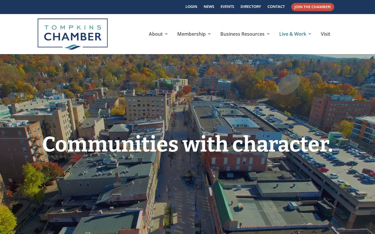
Use that community layer to understand the area around an Ithaca block, then return to official parcel and assessment records for property facts. No official countywide inventory of block clubs, HOAs, or public member lists was located in the research.
Ithaca Voter Lookup Limits
New York’s voter lookup requires county, last name, first name, date of birth, ZIP code, and address information for a registered voter. It supplies registration, poll-site, or mail-ballot information for the matched voter. It is not a map that lists Ithaca neighbors around an address. A district map or planning boundary describes civic geography, not a list of people on a block.
The Tompkins voter-record request form has town, ward, district, party, list, delivery, signature, and payment choices. New York Election Law §3-103(5) limits use of information derived from registration records to an elections purpose. Knowing or willful non-election use is a misdemeanor under §17-168. The Board of Elections is the proper channel for an election question or a lawful request, not a casual block roster.
Note: Election districts describe civic geography, but they do not convert voter registration information into a public block roster.
Ithaca Neighbor Verification Loop
Keep an Ithaca neighbors search in four linked layers: geography, owner interest, recorded document, and dated history. First map the parcel and its immediate relationship to the target. Next, compare the assessment location and owner mailing address. Then consult the deed index only for the recorded parties and property description. Finally, use HistoryForge or a directory year when the question concerns a past block. Each layer corrects a different kind of mistake.
| Official record route | Best use | Commercial neighbor tools |
|---|---|---|
| Map, assessment, Clerk, HistoryForge, and custodial records | Check a dated parcel, ownership interest, document, or historic address connection against its source | May combine stale addresses or similarly named people and do not replace the original custodian |
Use a commercial result, if encountered, only as an unverified lead to check against the responsible public office or historical repository. It should not replace the parcel record, deed, or dated directory entry. A dated research note should distinguish the map relationship, assessment owner, recorded party, and historic address entry rather than combining them as one statement. For a wider named-street process, return to the By Street directory rather than extending a short block check into a citywide list.
Ithaca Neighbor Privacy Boundaries
FOIL is a route to existing agency records, not an order for a new list of people around an address. Under New York Public Officers Law Article 6, §§87 and 89, agencies may withhold or redact records to prevent an unwarranted invasion of personal privacy. A request must identify records the agency already keeps. It does not turn parcel geography, planning material, or a public organization directory into a resident roster.
Protected records also explain why a name may not appear. The New York Address Confidentiality Program under Executive Law §108(1) provides a substitute address for eligible participants whose safety requires protection. Eligible domestic-violence victims can keep voter registration separate and unavailable for public inspection or copying under Election Law §5-508. Court files, vital records, and other sources have their own confidential categories. Correct an apparent error with the custodian instead of guessing about a person or address.
Lawful use. Use Ithaca neighbor records for personal, lawful block research and civic curiosity. Do not use a parcel, address, or name to watch, stalk, harass, intimidate, or harm anyone.